Scandal with images of Ukrainian military facilities on Google maps: how the company fixed the situation.


Google has removed images of Ukrainian military facilities from its maps. This was reported by the head of the Center for Counteracting Disinformation at the National Security and Defense Council, Andriy Kovalenko, on his Telegram channel.
«Google fixed the situation with the maps. Military facilities and systems are no longer displayed. Everything will be fine in the future too. Thank you», - wrote the official.
Earlier, Andriy Kovalenko stated that Google had published updated satellite images showing the location of Ukrainian military systems. Later, the company explained that the satellite images of Ukraine's defense infrastructure, depicted on the updated maps, were taken over a year ago and sourced from publicly available resources.
According to Kovalenko, Ukraine contacted Google's office to rectify the situation, as hostile platforms had already begun actively disseminating these images. Later, the head of the Center for Counteracting Disinformation stated that only after the public reaction did Google representatives get in touch with the Ukrainian side.
By the way, Meta has begun creating its own search engine based on artificial intelligence, which will provide up-to-date information about the latest events via the Meta AI chatbot.
Read also
- The Most Reliable Used SUVs with Diesel Engines
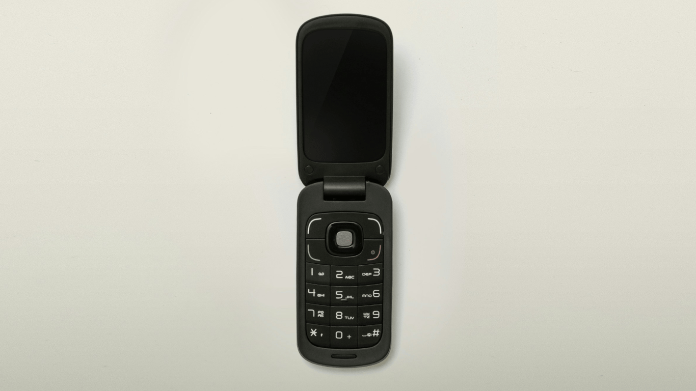
- The Return of Button Phones — Why You Should Switch to Them
- Electric Car or Hybrid - Which is Better
- Why laptop chargers are big black 'bricks'
- Kyivstar gives away gigabytes — who can get 150 GB for free
- The Best Mazda Engines Named