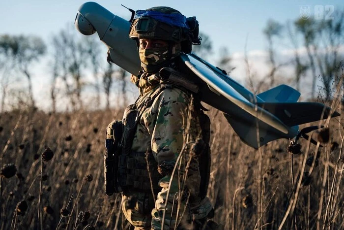
Google Maps upset Ukrainians' positions photos: Russians actively using snapshots.


Updated Google Maps photos 'revealed' the locations of Ukrainian military positions.
Head of the Center for Countering Disinformation (CPD) Andriy Kovalenko reported that updated Google Maps photos revealed the locations of Ukrainian military positions. He appealed to Google Maps to correct this situation, but received a response that it was impossible due to the weekend. Russians, in turn, are actively using these snapshots.
"Imagine the situation. Google posts updated images on maps showing the locations of our military systems. We asked them to quickly correct this, but they said they are off on weekends. Russians are already actively using these snapshots. What is wrong with this world?" - Kovalenko wrote.
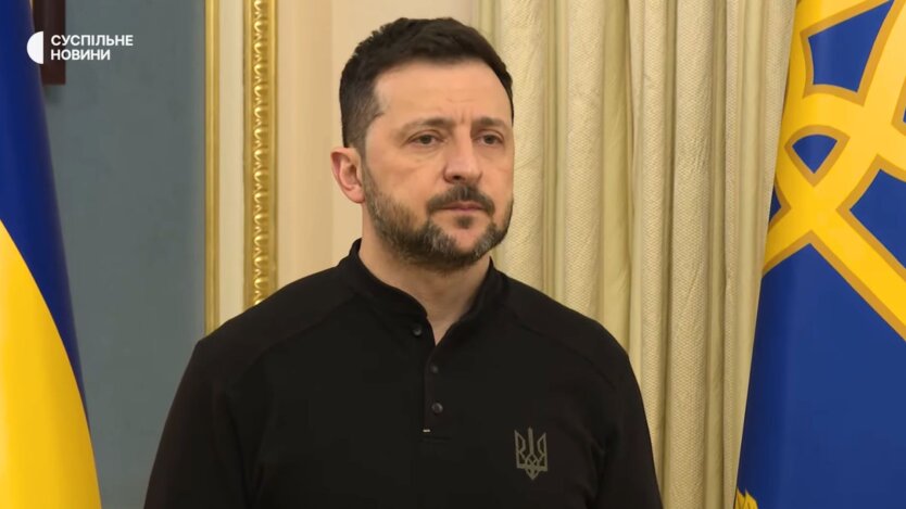
After the public reaction, the head of CPD reported that he contacted Google representatives. They are already working on correcting the situation with snapshots of the locations of Ukrainian military systems.
"We will also discuss how to promptly resolve similar issues in the future," - Kovalenko added.
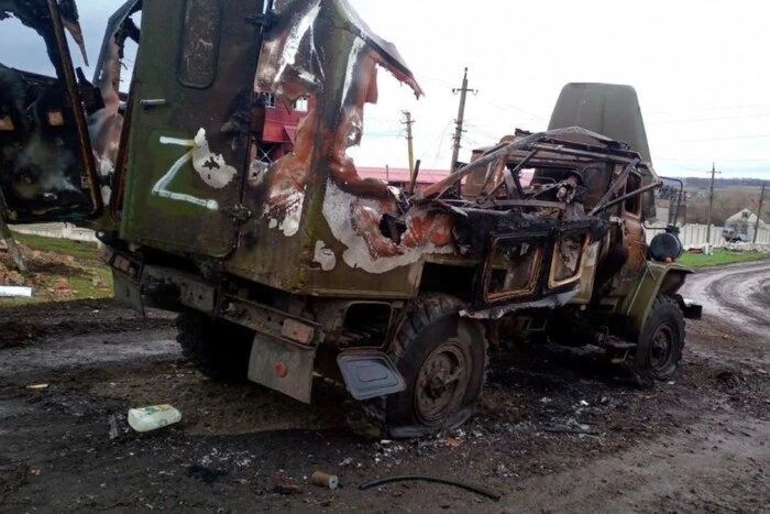
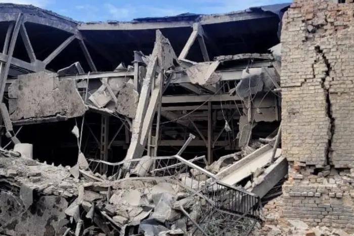
Reminder, Russia attacked Kyiv and the region with drones overnight.
Read also
- Front Line as of May 15. Summary of the General Staff
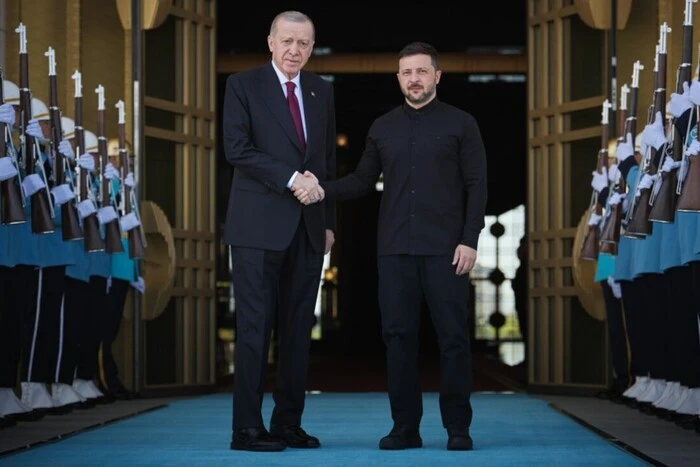
- Zelensky's Visit to Turkey, Start of Negotiations with the RF. Main Points from May 15
- We cannot chase Putin around the world: Zelensky sends delegation for negotiations in Istanbul
- Enemy losses as of May 15, 2025 – General Staff of the Armed Forces of Ukraine
- Sybiga met with Rubio and Graham, composition of delegations from the Russian Federation and Ukraine: main news of the night
- A Day of Mourning Declared in Sumy After Russian Strike